Revisiting the Southern Cascades
I've been seeing patterns in wildfires, but then again, I'm just one guy

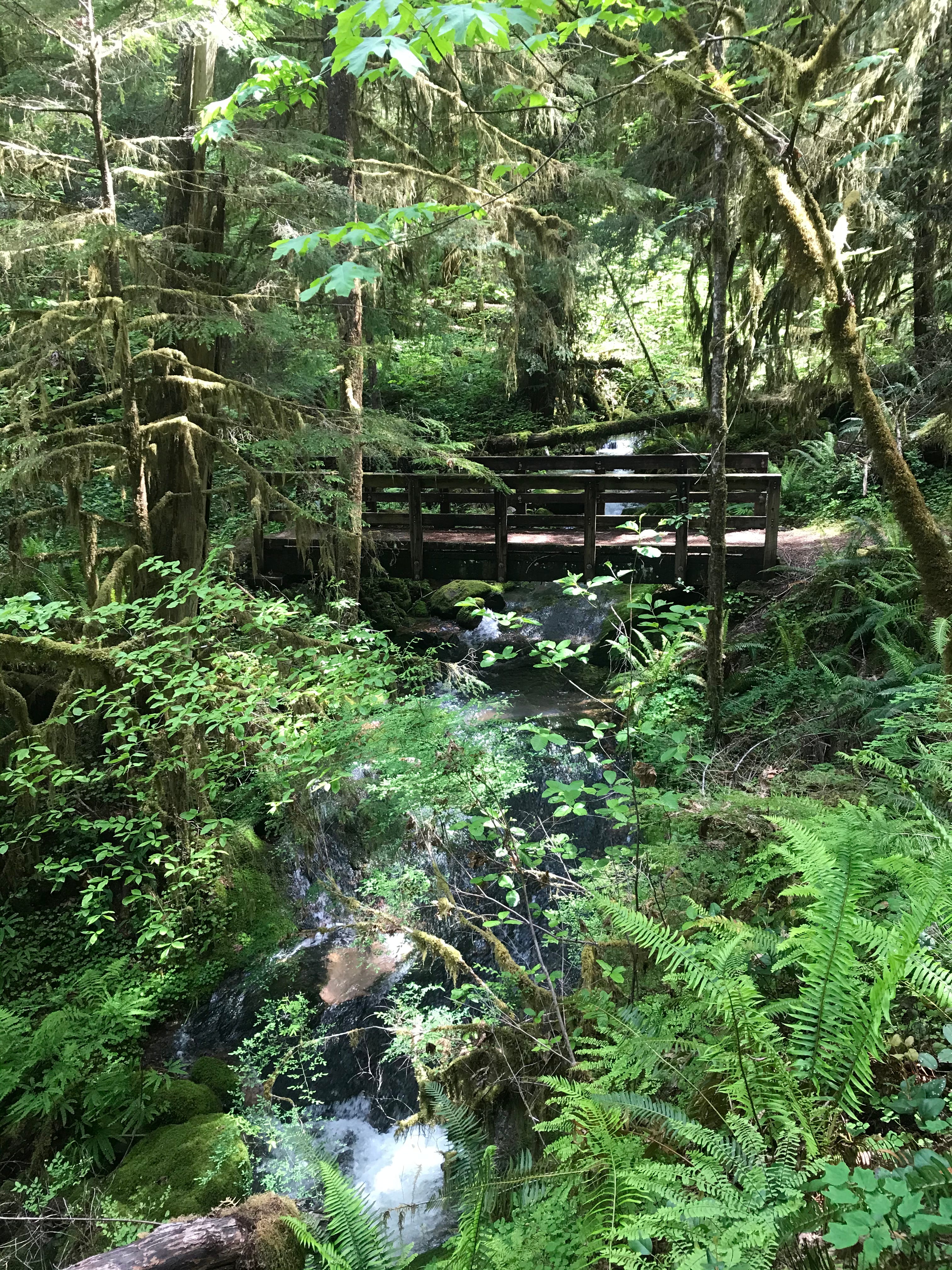
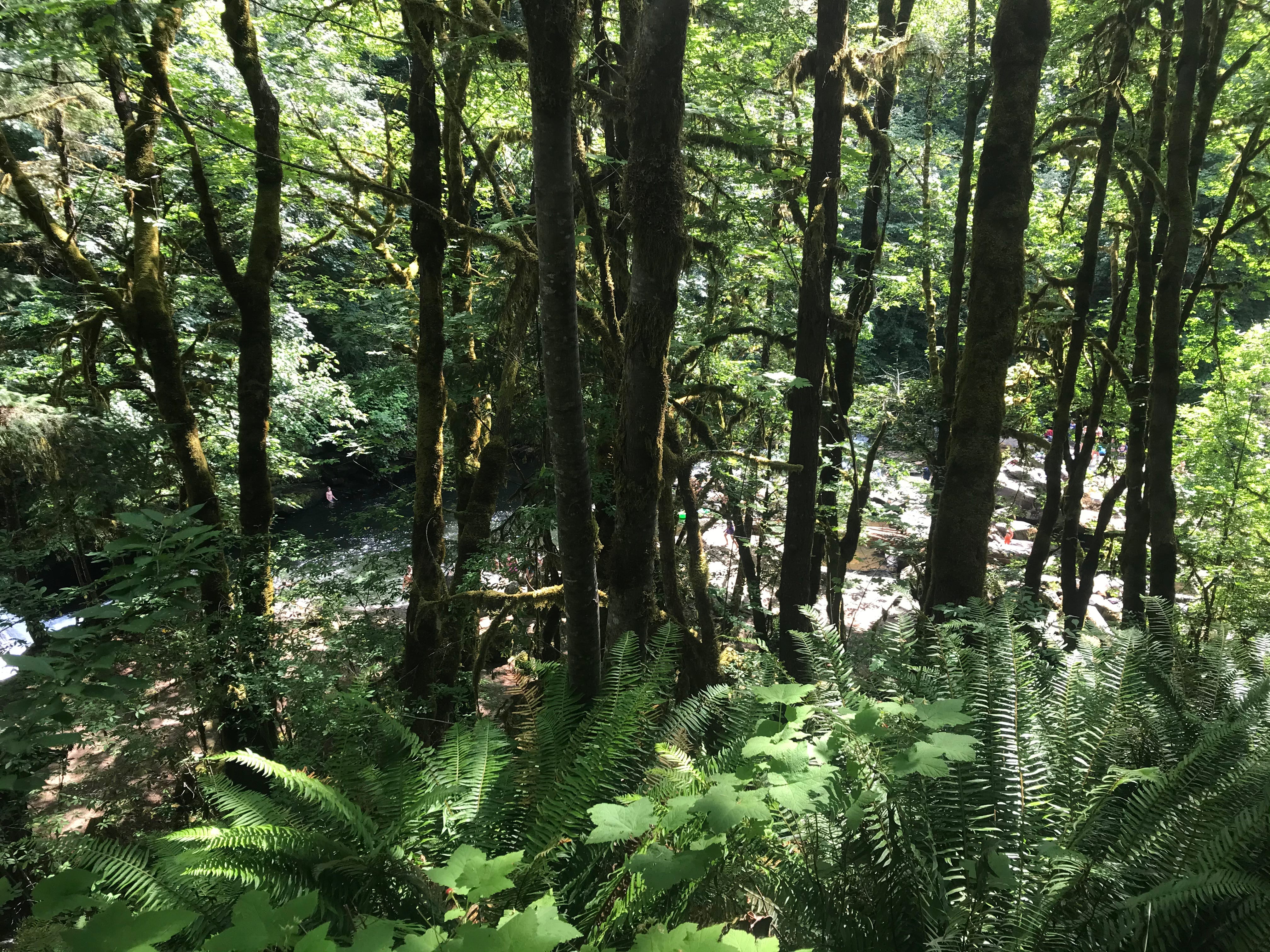
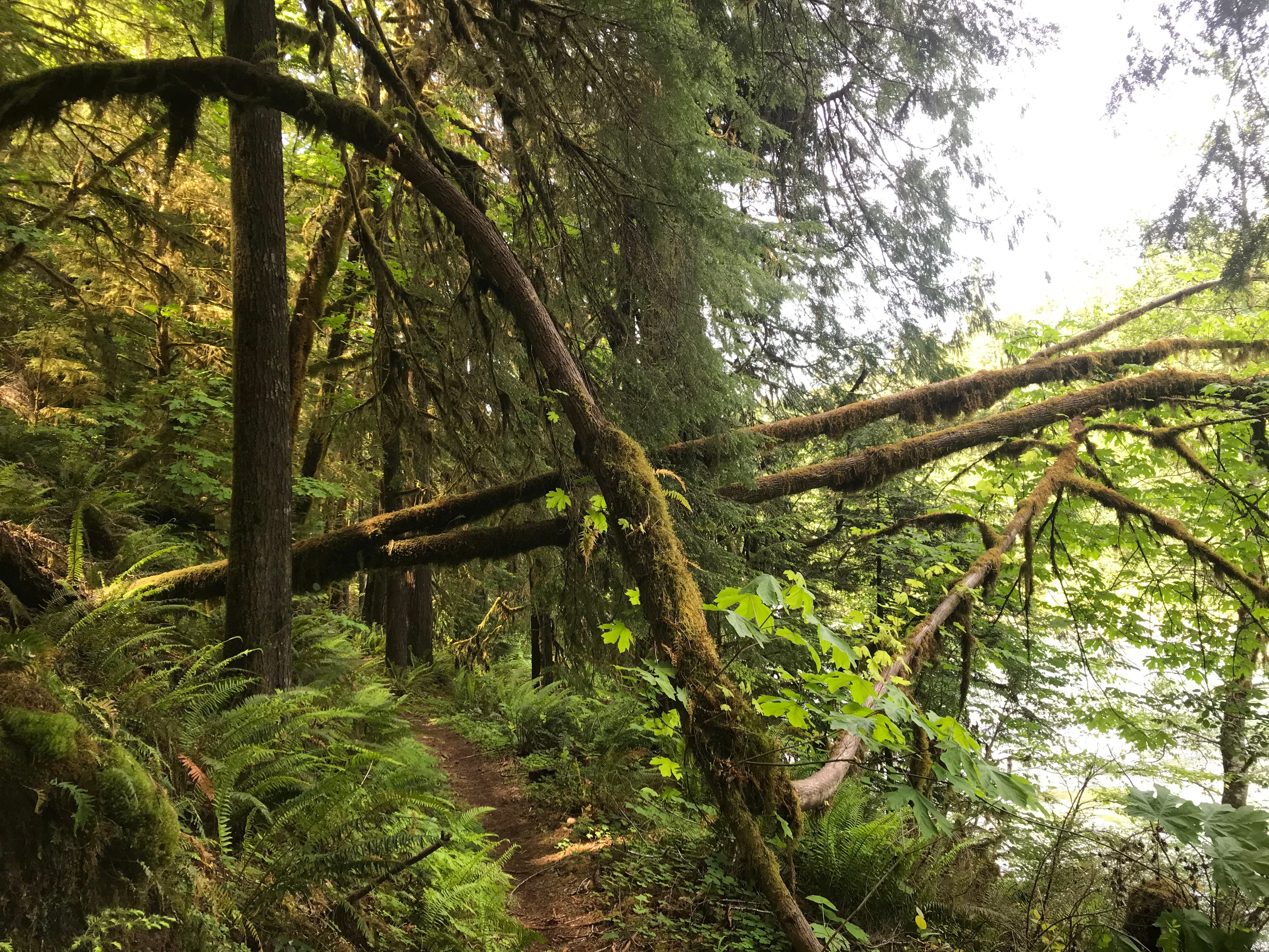
I took a week off in September to backpack with my friend Blair, who flew in from out of town. He’s one of the most unflaggingly positive people I know, always calm and happy, which is useful, because about zero percent of our plan actually worked. Mt. Jefferson was collecting smoke from all the wildfires in the Cascades like a catcher’s mitt, eliminating plan A, B and C from the first trailhead, smoking up plans D through G at trailheads nearby, after which a new Federal system, which requires a reservation for popular hikes, limited further plans. That put us at about plan M. We hightailed it south to the Umpqua. I’ve wanted to hike the North Umpqua Trail for years. The Umpqua is beautiful, a prism of emeralds over deep blue rapids. Towering cedars leave space for maples to lean into the sun, and wildflowers grow among the ferns. When we arrived, I realized, I hadn’t seen it since 2020. The lightning storm that started fires along the spine of the Sierras and Cascades in 2020 had hit the Umpqua too. Near the end of fire season, an intense foehn wind called an East Wind, like an Oregon Santa Ana, pushed those fires down mountain valleys. Flames bent at 90º in the wind and burned as if the earth had tipped sideways. The fires destroyed trees that should have been too tall and thick to ignite, in river drainages that should have had humidity to slow them.
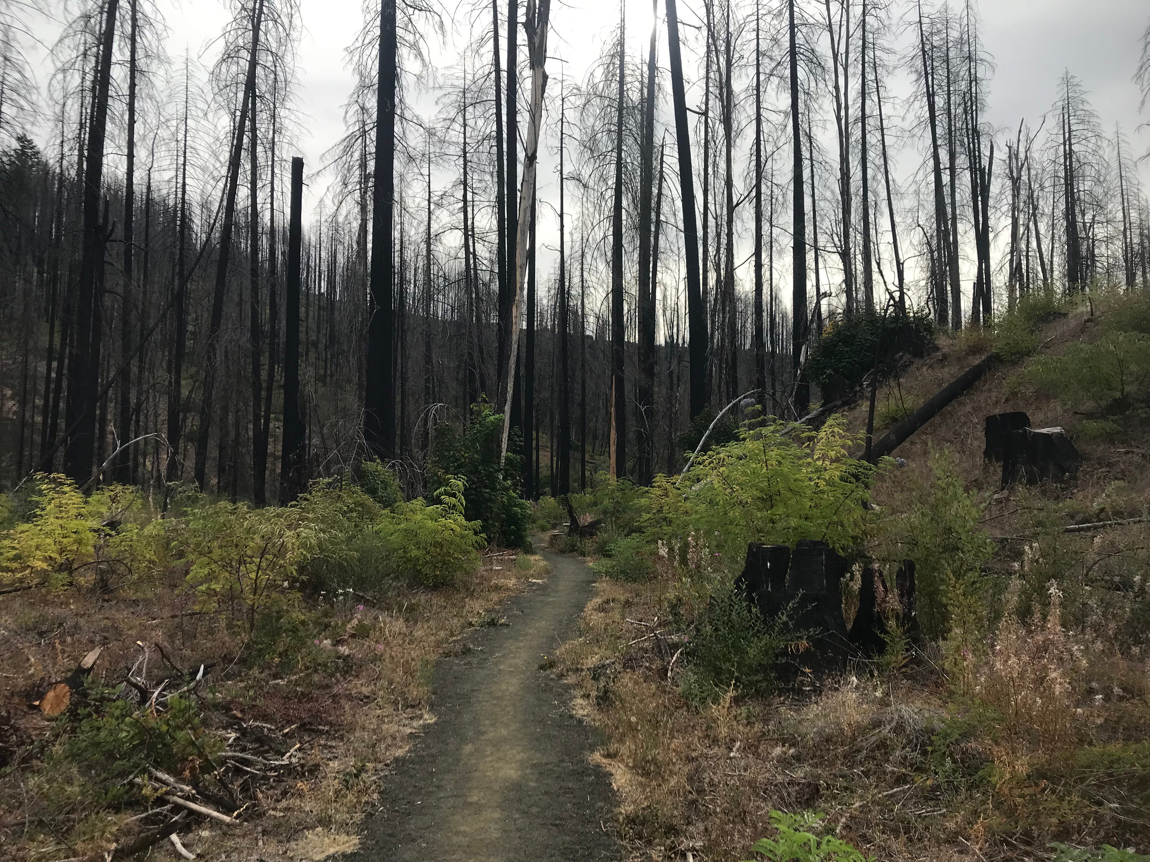
At the North Umpqua’s first trailhead, amid birdsong, blackened snags loomed over lively shrubs and fallen timber. The trail was closed—danger of falling snags. I felt a little sad. Even with ideal temperatures, the forest I loved will not regrow to its old form in my lifetime.
Still, I knew good places to camp and hike. Vultures rode the thermals. We identified songbirds, bugs, and elk poop. Blair continued his longtime experiments with foraging. Himalayan blackberries arched sharp-thorned backs in bald-stump logging units like ancient sea monsters. Oregon strawberry vines crawled across unused two-tracks. The huckleberry bushes had been cleaned out most everywhere, perhaps by bears. Blair had wider tastes. Did you know you can eat manzanita berries? I didn’t. Did you know unripe manzanita berries taste like sour dirt? Prevent scurvy accordingly.
The sun roasted me while we climbed Mt. Thielsen. The familiar Douglas fir, cedar, and hemlock I knew from the Willamette National Forest yielded to higher altitude silver firs and noble firs, harder for my grasping brain to identify. The zit bark trees and the ones with hockey stick needles. These faded to Engleman spruce and subalpine firs that are notorious for torching. It’s as if the top of the treeline, distracted by the demands of wind and cold, forgot to defend itself against fire. Near the top, a squat white pine shrugged against the wind.
Next we drove up into a wilderness area. We looked for elk among jackstrawed snags, climbing over dead trees as quietly as we dared. It was a burn scar. A meadow below had opened wider in the fire. I noticed a pattern. The area had burned in 2017, the same year as our original trailhead.
In 2017, the Whitewater Fire started just below the treeline on Mt. Jefferson. Lightning strikes took off all along the Cascades. For days we tracked down strikes, driving into the rain where the lookout directed, rolling down the windows and sniffing for smoke. We hiked, to search and extinguish what we found (each fire a big deal, an opportunity for someone to get Incident Command experience, and of course, hazard pay.) Whatever survived us smoldered, and likely smoldered out. But not all of them. In July, the East Wind off Mt. Jefferson poured down the glacier-cut volcano, stirring up flames in the shrubby firs and lodgepoles at the top of a ridge.
When the Whitewater Fire started, it was a juggernaut, just throwing hot embers to sail on the East Wind, lighting the canopy what seemed like a mile away, preheating fuels until the main fire caught up.
Similar fires burned all across the Cascades, including one started by a teenager with a firecracker in Eagle Creek. A crewmember said they should be called “The Eclipse Complex” because the fires eventually closed seemingly every small community that had braced for an influx of tourists for the 2017 eclipse. I watched the eclipse from a protruding ridge above French Creek, with glasses distributed by the incident management team.
Before the fall rains, the fire petered out near the wet, huge timber in the Brietenbush drainage, creeping through the brush but sparing giant, riverside cedars. Outside Breitenbush Resort, the fire died before it even reached the area we had cleared for its defense.
Of course, the full border of the Whitewater Fire didn’t represent a natural progression. We burned off from logging roads to leave the fire nothing to consume but nuked out ash, boxing it in. It’s hard to say how far it would have travelled on its own.
In 2020, the big cedars near Brietenbush burned anyways. A massive East Wind, the same one from the Umpqua, pushed fires deep into timber stands, and consumed massive firs like matchsticks. It’s hard to describe the fire at night, ripping downhill towards Mill City.
So I checked the map. Many of the 2017 fires had been in higher altitudes. It wasn’t just Whitewater. That year happened to have the right conditions to burn ridges.
The fires in 2020 were hot enough (and the wind insane enough) to rip through the deep riparian forests along riversides. Each of those big fires, in the Santiam, McKenzie, Umpqua, and Rouge river drainages, burned big river valleys. It was as if each year had the right conditions to fuck up certain densities of forests.
The East Coast had bad wildfires this summer, so my boss asked about a technological magic bullet. I responded,
Honestly I think the only way to stop it would be to stop global warming. Every forest out there is adapted to a certain probability of fire, and that probability is a function of the number of hot and dry days. In Southern Arizona, 80 degrees and 20 percent humidity is pretty average. In the Cascades, 80° and 20% Rh is a whole mountainside itching to burn. And the past few summers it’s hitting the 90s or above. So all those mountainsides in the world are poorly suited to their new temperatures. Every forest is going to burn until they’re replaced by trees that are adapted to new conditions.
It’s a race north to see if ecosystems can propagate faster than warming.
We could try to ensure that those fires are small and controlled instead of simultaneous and catastrophic. And we shouldn’t give up hope like the Victorians clear cutting all of the chestnut trees in advance of the chestnut blight. But this one doesn't get solved without sacrifice.
That was a little simplistic and doom-shadowed. Scientific accuracy and simple clarity don’t always go hand in hand.
This whole theory is anecdotal. It’s just what I noticed on a few hikes, as an amateur, looking at trees.
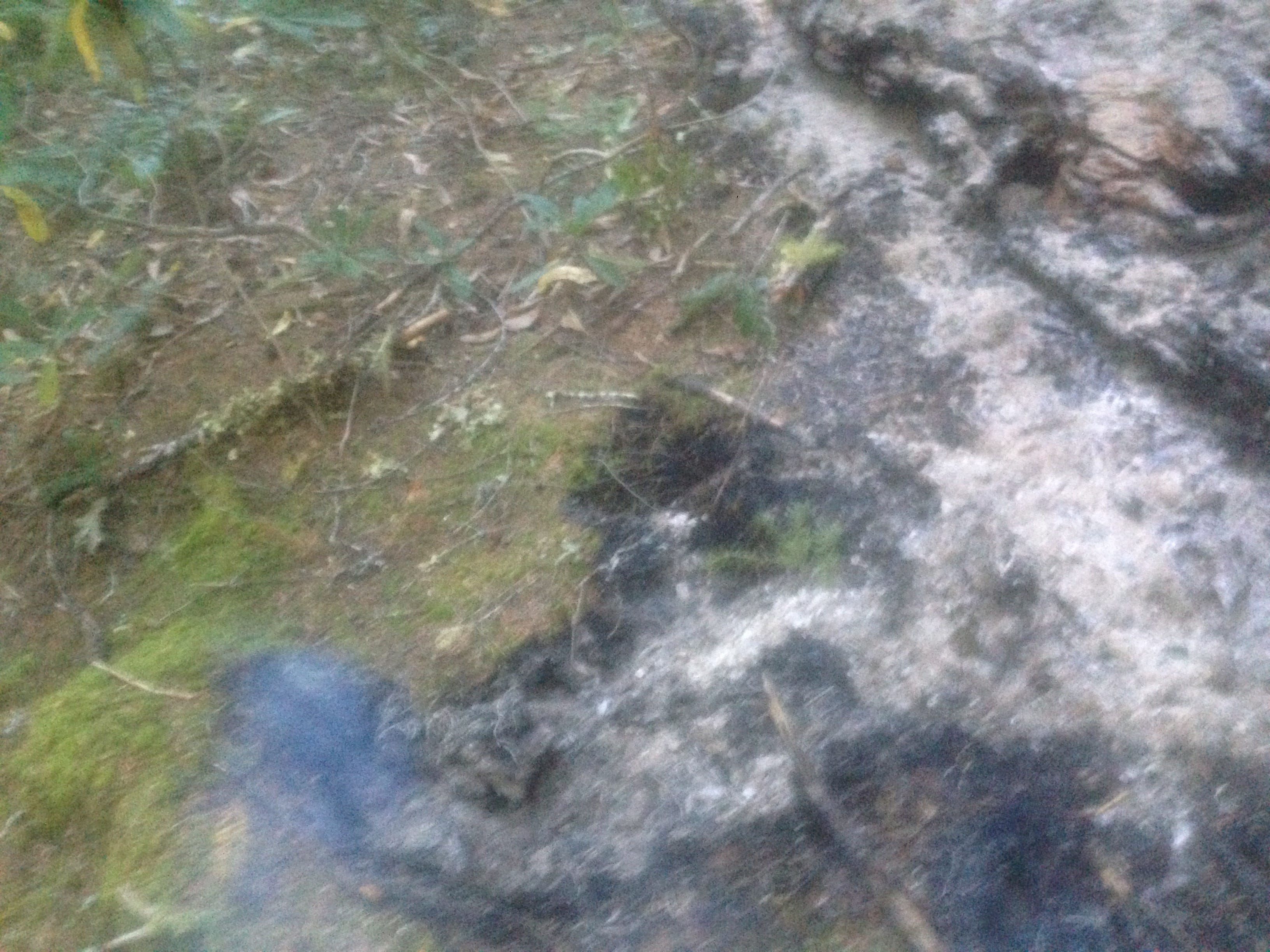
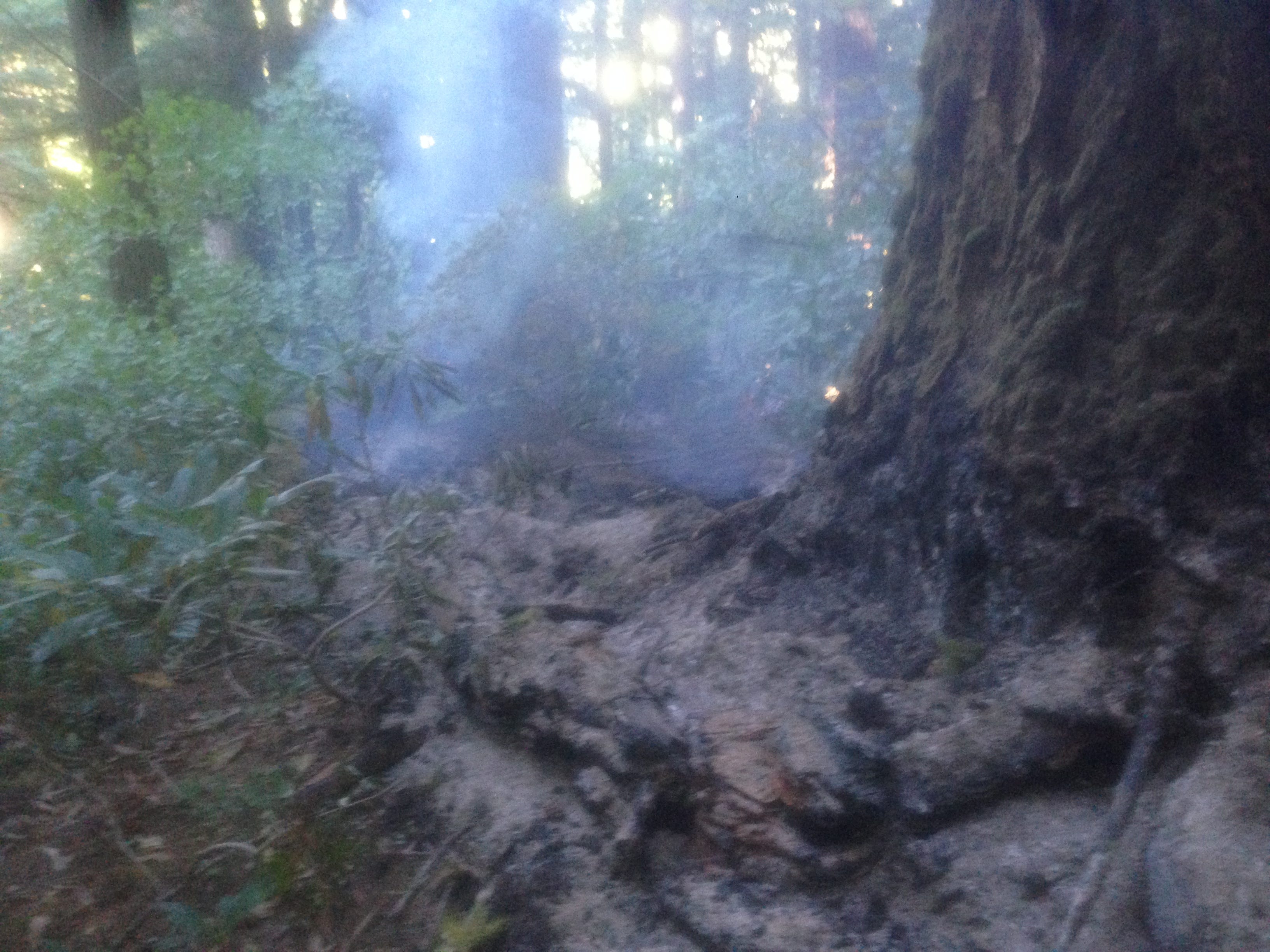
Blair and I hiked miles down from the mountaintop burn and found one more riparian forest, the kind of green and glittery paradise I’d wanted to show him all along. He said it was worth all the bushwhacking. Such forests still survive. Waterfalls dive off the cliffs in shaded ravines, splashing cold mist to fracture dots of sun. At our last falls, mist rode the wind, curling and darting, as if to remind us that we are not striding atop this world, but hopelessly immersed.
Your before and after pictures are riveting. I guess we are lucky there are any forests left at all.